It’s been a while. My last hike was back in November 2016. Then a series of motorcycles issues along with a crazy work schedule kept me away until now. Boy, have I missed it. Making it to the top of Windham High Peak this weekend made me realize, “Don’t forget about this!” This wasn’t a difficult hike by any means but it was exhilarating, nonetheless—away from urban life and basking in the fresh air of nature.
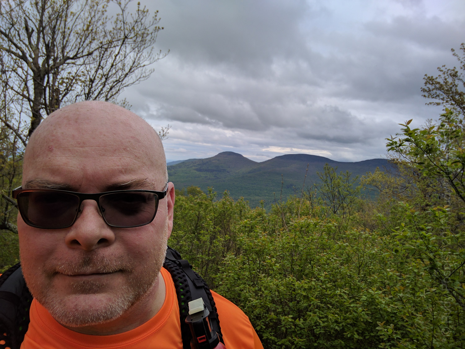
Arriving at the Peck Road parking lot for the ascent of Windham High Peak in the Catskill Mountains.Entering the yellow Elm Ridge Trail from the parking lot. Don’t forget to sign the register.Hitting the junction of the blue Escarpment and yellow Elm Ridge trails.After a while, the hike up Windham Hgh Peak becomes much rockier and rooty.Nearing the summit of Windham Hgh Peak. That’s Blackhead Range in the background.At the 3500 feet marker on the way to the top of Windham High Peak in the Catskill Mountains.Your’s truly, near the summit of Windham High Peak in the Catskill Mountains. That’s Blackhead Range in the background.Looking over the valley from Windham High Peak.Topographic map showing the ascent of Windham High Peak in the Catskill Mountains.Google Earth map showing the ascent of Windham High Peak in the Catskill Mountains.Elevation graph showing the ascent of Windham High Peak in the Catskill Mountains.Lots of rain the night before made for a slippery descent of Windham High Peak.Setting up camp at 2,850 feet on the way back down from Windham High Peak.On the bike and heading back home to Manhattan, I passed Kaaterskill Falls and had to stop and take a picture.
[Note: I’m writing this post six months later, so I’m a bit sketchy about the details.]
It was a chilly October. I went to work on Friday all packed up, and headed to the Catskills directly after work. I had reserved a spot at the Phoenicia Black Bear Campground and got there after dark. With my headlamp on, I quickly set up the Hilleberg Unna tent amongst the partying and county/western music sounds from neighboring campsites.
It was a chilly night and got down to around freezing but I was comfortable in the Unna and a Sea to Summit Trek !! 18° bag.
The next morning, I awoke to see that I was right next to Esopus Creek. I had no idea. It was quite a nice sight.
Waking up next to Esopus Creek at the Phoenicia Black Bear Campground.
I packed up and headed to the Spruceton DEC parking lot for Hunter Mountain.
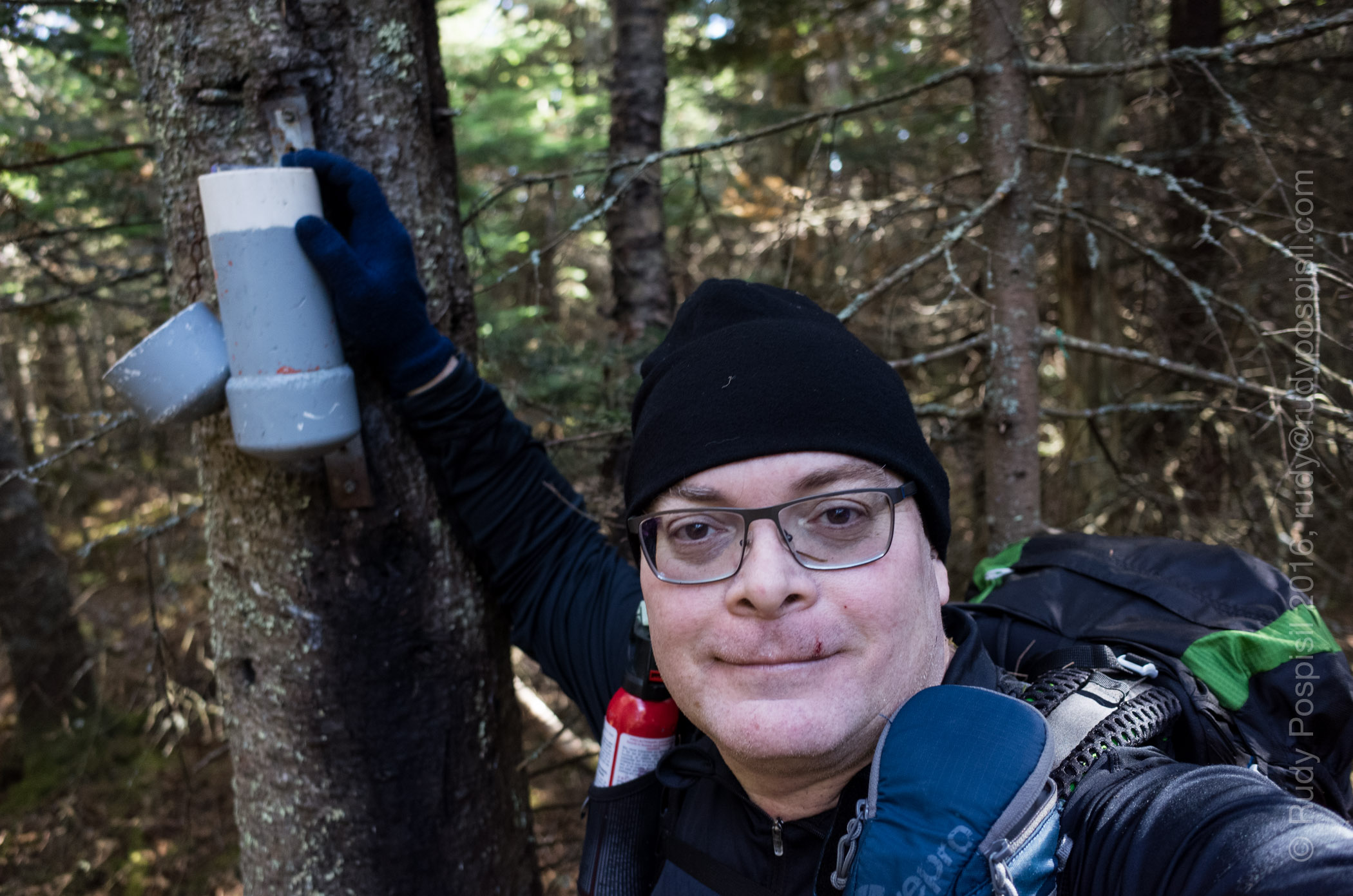
Arriving at the Hunter Mountain DEC parking lot.The trailhead and Register Box of the blue blazed Spruceton Trail.Meeting a couple other hikers on the way up to the summit of Hunter Mountain in upstate New York’s Catskill Mountain Range.The fire tower at the top of the Catskill’s Hunter Mountain.A beautiful view from the top of Hunter Mountain.Panoramic view from the fire tower at the top of Hunter Mountain.The Devil’s Acre shelter on Hunter Mountain.Little did I know, I just passed the herd path to the peak of Southwest Hunter Mountain.Let the bushwhacking to the peak of Southwest Hunter Mountain begin.I see the Southwest Hunter Mountain canister!!!Success! Finding the gray canister at the peak of Southwest Hunter Mountain (Levitt’s Peak).Bushwhacking back down to the Devil’s Path trail.Coming down, I stumbled upon an obvious herd path and realized that I took the very difficult way up.The Diamond Notch Falls as seen from the Diamond Notch trail as I headed back to the motorcycle.Heading back to Manhattan on the BMW R1200GS motorcycle. I had to pull over to view the full moon.The elevation graph of the round trip hike of Hunter Mountain and the bushwhack of Southwest Hunter Mountain in the Catskill Mountain Range in upstate New York.The Google Earth map of the round trip hike of Hunter Mountain and the bushwhack of Southwest Hunter Mountain in the Catskill Mountain Range in upstate New York.
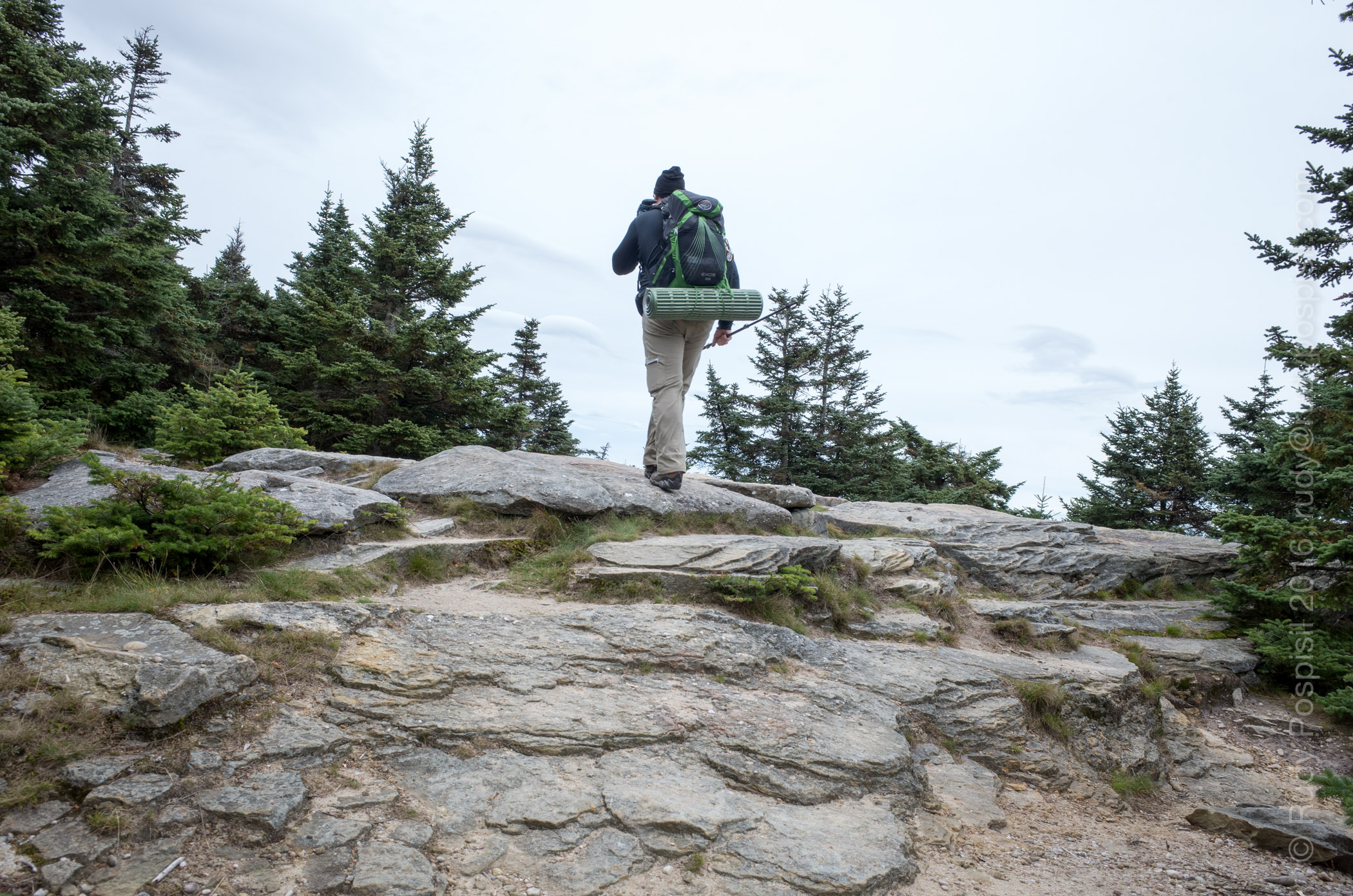
Packing up my Osprey Exos 38 for the overnight journey.The register box at the Slide Mountain trailhead.The obligatory selfie at the trail junction.The hike up is along a fairly smooth path albeit it long and quite steep at times.The hike up is along a fairly smooth path albeit it long and quite steep at times.Stunning views on the way to the top.Stunning views on the way to the top.
Officially hitting the summit of Slide Mountain.Google Earth map showing the path I took to the top of Slide Mountain.Garmin GPS Elevation Graph showing the Slide Mountain ascent.
Date of Hike
Date
October 7, 2016
Weather Conditions
Sunny, Clear, Crisp (48°F – 60°F / 8.9°C – 15.6°C
Summit
Slide – 4,180 ft / 1,274 m
Trailhead
Overnight Parking Lot
Distance (Round Trip)
9.6 miles / 15.45 kilometers
Total Elevation Gain
1,780 feet / 543 meters
+ Highlights
+ Beautiful view from the summit – Great wintertime camping possibilities
September 25, 2016
Wow, okay. This weekend was a doozy of a hike. My goal was to “bag” both the Wittenberg and Cornell summits. Little did I know how strenuous it would be.
The Wittenberg-Cornell-Slide Trail trailhead is located at the Woodland Valley campground, so I decided to set up base camp at the campground. That way I could do a dayhike on Saturday and return to an already set up tent.
I did my usual leave-after-work-on-Friday trip and arrived at the campground well into pitch black (the sun is going down sooner and sooner these days). I set up by the light of my headlamp and tucked in for what was to be a chilly night. 7:30 am the next morning, I was up and on the trail. Just the initial hike to the Register Box winded me. It couldn’t get harder than this, right? Well, upon reaching the first boulder I had to vertically climb up, I knew that I was in for some serious hiking. This was a tough hike with lots of bouldering required and even a rock “crack” to shimmy up. I came upon three separate hikers who had harnesses hooked up to their dogs in order to raise and lower them.
All in all, this was a very tough hike. I’m glad that I only had a five pound daypack and not a 25 pound backpack. The hike began at 1,400 feet and ascended to 3,800 feet, an elevation gain of 2,400 feet to get to the top of Wittenberg Mountain. Hard work but let me tell you, the view was breathtaking. The exhaustion I felt immediately washed away.
Hopping over to the summit of Cornell Mountain required some more exertion but went by fairly quickly. Cornell had some nice views also but not as panoramic as Wittenberg. I did, however, make a couple new friends. I met Dan and Jen, fellow Catskill 3500ers, and tagged along with them on the loooong, rocky descent back to the campground.
Yeah, #3 and #4 of my Catskill 3500 peaks. Enjoy the photos.
Establishing base camp at the DEC’s Woodland Valley Campground. My BMW R1200GS and Hilleberg Unna remained onsite for two days while I went off to bag both Wittenberg and Cornell summits.If you don’t want to camp, there is an overnight parking lot at the trailhead of the red-blazed Wittenberg-Cornell-Slide hiking trail in the Catskill Mountains.The 7:30am sunlight filtering through the trees as I hop on to the red-blazed trailhead from the end of Woodland Valley campground. This will lead straight over the summits of Wittenberg Mountain and Cornell Mountain (and Slide also).Just getting to the register box was a chore. I didn’t know it at the time but this definitely served as a forewarning as to what to expect.Don’t get too close to the edge. Hiking along the red-blazed Wittenberg-Cornell-Slide trail in the Catskill Mountains.A glimpse through the trees while hiking along the red-blazed Wittenberg-Cornell-Slide trail in the Catskill Mountains.The first bouldering event. Approximately half way up or so, it suddenly became obvious that this hike to the summit of Wittenberg Mountain was going to get harder.Looking down on the Wittenberg-Cornell-Slide trail and realizing, “I have to come back down this way. What have I done?”
You’ve got to be kidding. The challenge of the Catskill Mountain’s Wittenberg-Cornell-Slide trail just raised a notch.\
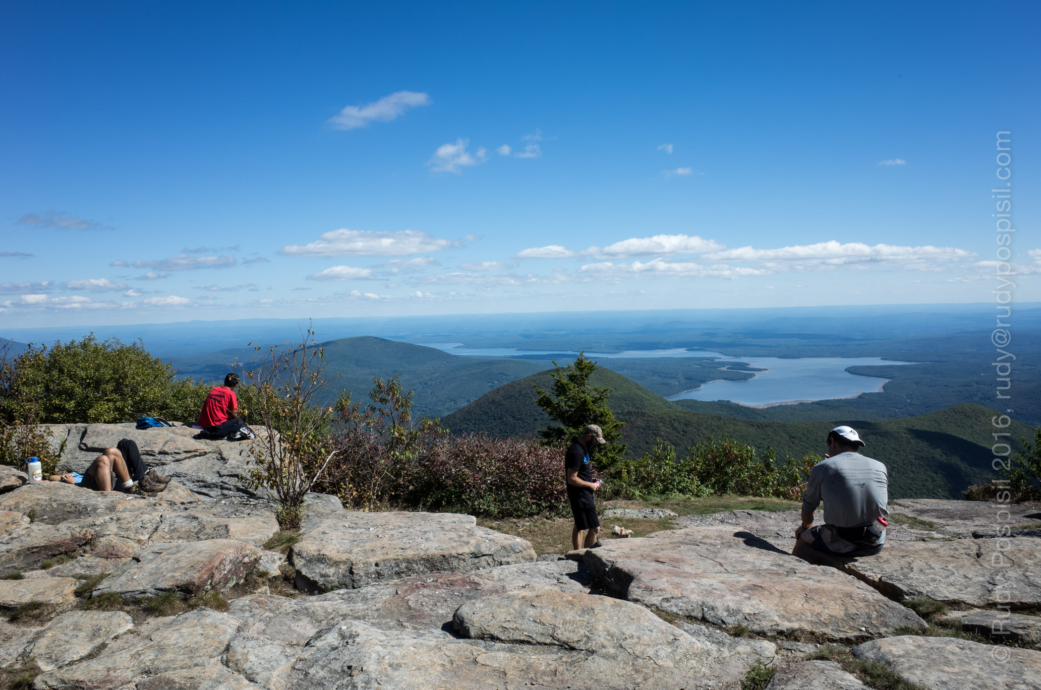
Oh yeah, this is why I just beat up my body for four miles and 2,400 feet of elevation gain – the spectacular view from the summit from Wittenberg Mountain. Obviously, a popular destination in the Catskill Mountains.Heading over now to the summit of Cornell Mountain. Yep, more Catskill bouldering.The infamous Cornell Crack in the Catskill Mountains. This picture doesn’t do it justice. It’s much more intimidating in person but if you’re the least bit athletic, you can shimmy up it though having a spotter might help.Panorama shot from the summit of Cornell Mountain, one of the 3500 of the Catskill Mountains in New York. That’s Wittenberg Mountain in the middle, about 0.8 miles away and where I just came from.Heading back to the Woodland Valley base camp in the Catskill Mountains. It’s a long five mile descent.Checking out at the register box on the red-blazed Wittenberg-Cornell-Slide trail in the Catskill Mountains. Such a beautiful sight! At this point, my leg muscles were mush and my shoulders were sore from the trekking poles.Passing Steve Heller’s Fabulous Furniture in Boiceville, NY as I leave the Catskill Mountains and ride the 2 1/2 hours back to Manhattan.Google Earth showing my roundtrip dayhike from the Woodland Valley DEC campground to the summits of Wittenberg Mountain and Cornell Mountain.
The elevation graph from my Garmin Montana GPS showing the ascent from the Woodland Valley DEC campground to the summits of Wittenberg Mountain and Cornell Mountain.September 24, 2016
Date of Hike
Date
September 24, 2016
Weather Conditions
Sunny, Clear, Crisp (48°F – 60°F / 8.9°C – 15.6°C
Summit
Wittenberg – 3,800 ft / 1,168 m Cornell – 3,800 ft / 1,168 m
Trailhead
Woodland Valley campground
Distance (Round Trip)
10.1 miles / 16.2 kilometers
Total Elevation Gain
3,400 feet / 1,036 meters
+ Highlights
+ Beautiful panoramic view from Wittenberg summit + Decent view from Cornell summit
– Caveats
– Precarious bouldering at times – Rarely any level ground – No water sources